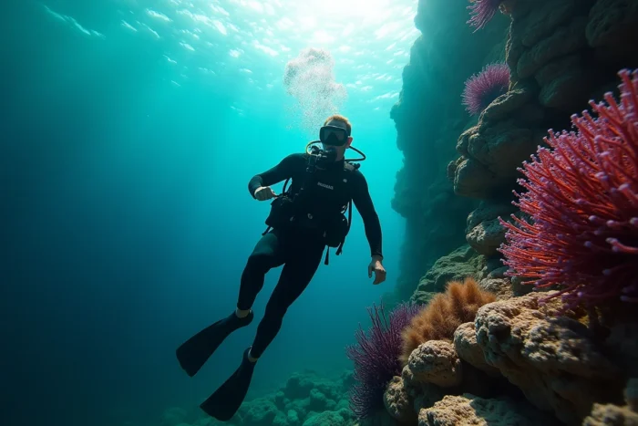
Between Cap Corse, the Agriates Desert, and Balagne, the northern part of the island features rocky bottoms accessible from the surface, often with visibility exceeding twenty meters and areas where the traffic remains moderate. Locating these zones on a dedicated diving and snorkeling map allows for a quick comparison of access conditions, the depth of drop-offs, and the nature of the seabed, three criteria that determine the actual quality of a session.
Comparative diving conditions between the northern sectors of Corsica
The three main areas in the north of the island are not equal. The table below summarizes the useful parameters for choosing a spot, based on documented geographical characteristics.
| Sector | Dominant seabed type | Access from the shore | Current | Suitable public |
|---|---|---|---|---|
| Cap Corse (east and west coast) | Rocky drop-offs, granite scree | Coastal paths, sometimes steep | Moderate to strong, especially at the point | Experienced divers, skilled snorkelers |
| Balagne (L’Île-Rousse, Calvi) | Rocky blocks, posidonia meadows, sand | Beaches and coves accessible on foot | Low in sheltered bays | All levels, families |
| Agriates Desert (Saleccia, Lotu) | Rock slabs, white sand, meadows | Boat or 4×4 track, little paved road | Variable depending on wind exposure | Independent snorkelers, boat divers |
To precisely locate these areas and their entry points to the water, a detailed map of northern Corsica for diving facilitates advance preparation, especially when land access is limited.
Île de la Pietra and Balagne: how rocky bottoms change the snorkeling experience
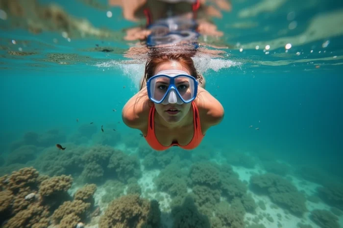
Île de la Pietra, connected to L’Île-Rousse by a causeway, serves as an often underestimated entry point. Its red porphyry blocks plunge directly into a few meters of water, creating crevices where wrasses, breams, and sea urchins concentrate.
The uniqueness of this sector lies in the immediate proximity between the shore and the rocky drop-offs. In snorkeling, this means that one can access biologically interesting areas without swimming long distances over sand.
Around Calvi, the seabed mixes posidonia meadows and rocks. The posidonia meadows serve as nurseries for many Mediterranean species, increasing the density of juvenile fish visible at shallow depths. Bottle divers will find deeper structures offshore from the citadel, with an underwater relief shaped by erosion.
What the map reveals about the orientation of coves
A detail that most tourist guides overlook: the orientation of a cove relative to the prevailing wind (the libeccio, from the southwest) radically alters visibility. Coves oriented east or northeast in Balagne remain clear when the libeccio blows, while west-facing inlets become murky within hours.
On a bathymetric or diving map, this orientation data allows for anticipating daily conditions without relying solely on general marine weather.
Blue crab in Haute-Corse: an invasive species to spot underwater
The IRD has reported since 2024-2025 a rapid spread of the blue crab (Callinectes sapidus) in Corsica. This invasive species, native to the western Atlantic, now colonizes several lagoons and coastal areas of Haute-Corse.
For snorkeling enthusiasts, this mainly concerns calm bays with sandy or muddy bottoms, specifically the so-called “family” spots. The blue crab has powerful claws and can reach a notable size. Encountering this species while swimming in a seagrass area or estuary is not uncommon in the north of the island.
- Estuarine areas and shallow muddy bottoms present the highest probability of encountering the blue crab.
- The species affects local ecosystems by preying on shellfish and juvenile fish, which can alter the observable fauna at certain spots.
- Reporting its presence on a snorkeling map adds a layer of information absent from current tourist guides.
The IRD emphasizes that this situation goes beyond mere environmental concerns and also impacts coastal uses and fishing. For a snorkeler, knowing where this species is present helps to adapt their route.
Cap Corse: map reading and access to isolated diving spots
Cap Corse concentrates the steepest drop-offs in the north of the island. The west coast of the cape, between Centuri and Nonza, offers water entry points from rocks, with depth increasing rapidly.
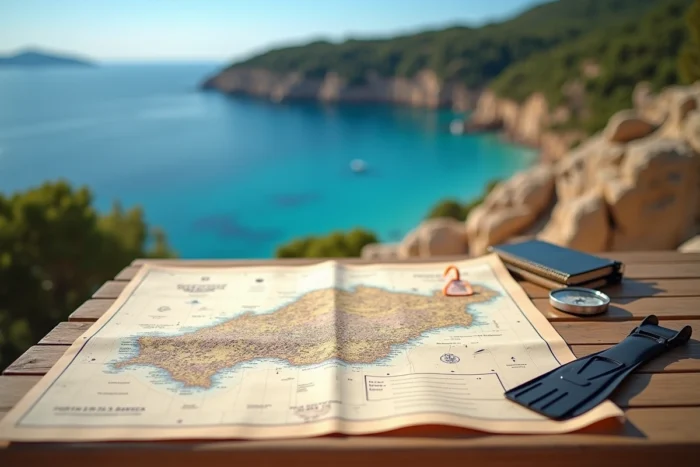
Land access remains the main filter for selecting spots in Cap Corse. Many coves can only be reached on foot, after descents on unmarked paths. A diving map that indicates access paths, possible parking, and walking distance offers a concrete advantage over a simple list of beach names.
Currents and required level at the tip of the cape
The northern tip of Cap Corse, around Barcaggio and the island of Giraglia, experiences currents related to the narrowing of the passage between Corsica and the island. Snorkeling remains feasible in calm seas but is not recommended in established winds.
Bottle divers, on the other hand, benefit from these currents, which attract a more varied pelagic fauna than in sheltered bays. The difference between these two practices justifies clearly separating on a map the areas suitable for snorkeling and those reserved for guided diving.
Elements to check on a diving map of northern Corsica
Not all snorkeling maps are created equal. Here are the pieces of information that make the difference between a useful tool and a mere background of a tourist plan:
- Bathymetry, even simplified, to assess depth without consulting a separate marine chart.
- Areas of reserve or specific regulations (anchoring prohibited, spearfishing prohibited), which vary according to current prefectural orders.
- The orientation of coves and exposure to the prevailing wind, to anticipate visibility.
- Land access points with their difficulty level (road, track, path, boat access only).
A map that integrates these four layers of information covers most of the questions that a diver or snorkeler may have before choosing a spot. Northern Corsica, less documented than the south on these aspects, benefits from being mapped with this precision.